Impossible? Let’s see. From algorithms to neuroscience to AI, Google Research strives to progress science, advance society & improve billions of people’s lives.
Joined May 2017
- Tweets 193
- Following 17
- Followers 31,430
- Likes 91
Introducing Nested Learning: A new ML paradigm for continual learning that views models as nested optimization problems to enhance long context processing. Our proof-of-concept model, Hope, shows improved performance in language modeling. Learn more: goo.gle/47LJrzI
@GoogleAI
Learn about Google’s approach to building AI to help improve learning outcomes for everyone in this new paper, co-authored by @ymatias, our VP and Head of Google Research ↓
Today, we introduce our position paper “AI and the Future of Learning”, outlining Google’s approach to building AI to help improve learning outcomes for everyone.
The core focus at Google Research is driving breakthrough research and bridging fundamental scientific advancement into tangible solutions that address critical global needs. This is the magic cycle of research in action. Our strategy is deeply grounded in pedagogical principles and the very best of learning science.
Google is actively developing AI models like Gemini, guided by our LearnLM efforts, to create deeply personalized teaching and tutoring experiences at scale.
We aim to empower educators by giving them an AI teaching assistant to free up time for mentoring and connection.
We recognize the imperative to confront risks like "metacognitive laziness," ensuring tools promote critical thinking and accelerate human potential.
We remain committed to continuous collaboration with experts and an evidence-based approach.
Read the full report: services.google.com/fh/files…
Blog announcement: blog.google/outreach-initiat…
DS-STAR is a state-of-the-art data science agent designed to autonomously solve complex data science problems. It automates tasks from analysis to data wrangling across diverse data types to achieve top performance on challenging benchmarks. Learn more:
goo.gle/3WHBMNS
Together with @GoogleDeepMind we’re releasing ForestCast, a new benchmark & paper on forecasting deforestation risk with deep learning. This shifts from counting forest losses that have already occurred to anticipating the risk of loss before it happens. →goo.gle/4qLbY0S
Researchers at Google are using AI to map Earth’s biodiversity. Learn how our complex deep learning architecture, known as Graph Neural Networks, is upleveling species distribution maps to aid policymakers and conservationists.
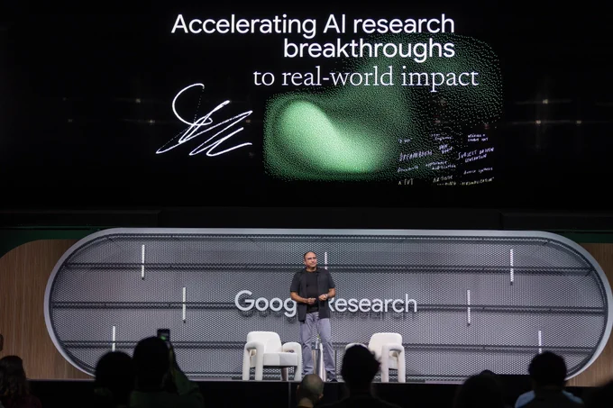
At Research@ in Mountain View last week, we shared some of our latest announcements, from understanding earth to advancing genomics & quantum computing.
Read all about the powerful cyclical relationship — “magic cycle” — between research & real-world impact in this blog from our VP and Head of Google Research, @ymatias →goo.gle/48XCEW6
To ensure strong transparency in user data handling and analysis, today on the blog we detail how confidential federated analytics technology is leveraged to understand on-device generative AI features. Read all about it →goo.gle/3L83SiT
Introducing StreetReaderAI: A new and more accessible street-level imagery prototype using context-aware, real-time AI and accessible navigation controls. We're redefining immersive streetscape experiences to be inclusive for all with multimodal AI. More: goo.gle/4oq1J0o
Learn about the research behind our new personal health coach, built using Gemini models and thoughtfully developed with foundational research. Read more → goo.gle/430ZecB
Check out this thread from @ymatias, VP & GM of Google Research, with highlights from last week's Research@ event ↓
Was honored to host Research@ our Mountain View HQ last week.
Over the past two weeks, we've seen a flurry of new results from Google Research, from genomics to quantum computing to geospatial understanding.
Research is our chance—and imperative—to improve day-to-day lives, and address societal challenges and opportunities, and it means that research and innovation is never 'done.' A couple of highlights from Research@ event in this thread👇
Check out this new Featured Notebook to dive into our genomics research and learn more about how studying the genome can improve healthcare ↓
We're partnering with @GoogleResearch to kick off a new series of Featured Notebooks exploring topics ranging from health to science to (of course) AI.
Starting with "How do scientists link genetics to health" this notebook explores some of what we've learned over the past 10 years of genomic research:
notebooklm.google.com/notebo…
Missed us on Tuesday? Here's another chance to experience Android XR firsthand at the #ICCV2025 Google booth today at 11:30am! See the advanced Perception stack for seamless immersive experiences, translating vision research into real-world XR products. blog.google/products/android…
You can also dive deeper into the research behind the new Earth AI innovations →goo.gle/4oDAz6i
New Earth AI models are now available to power deeper insights in Google Earth, and our foundation models are directly available to Trusted Testers on Google Cloud. Learn more about the future of global-scale reasoning ↓goo.gle/3WTe0ym
Geospatial Reasoning, which uses Gemini models, automatically connects Earth AI models (Imagery, Population, Environment) to solve complex problems. This allows organizations to move from simple prediction to identifying which communities are most vulnerable and what infrastructure is at risk from a disaster.
For example, our partners are using Earth AI to predict cholera risks (WHO AFRO) and property damage before a storm (McGill and Partners).
Today, we are announcing the latest advancements to Google Earth AI — a platform designed to unlock a new level of planetary understanding. This includes new research on Geospatial Reasoning and expanded access to our specialized models. 🧵↓
Google recently released Nano Banana, the latest Gemini native multimodal generation model. Check out a demo today at 3:30pm HST at the #ICCV2025 Google booth, highlighting some of its capabilities, such as image editing, interactive generation, & more.
gemini.google/overview/image…
Google Research retweeted
Building quantum computers faces a core challenge: control qubits without losing info. Hear from Yu Chen, Director, Quantum Processor, on the “secret sauce” behind Willow. It let Quantum Echoes run 13,000x faster, a verifiable quantum advantage. Read → goo.gle/47C7jH9


