Jack Keilo retweeted

Tree canopy height of Paris, France. Have given up on #30DayMapChallenge.
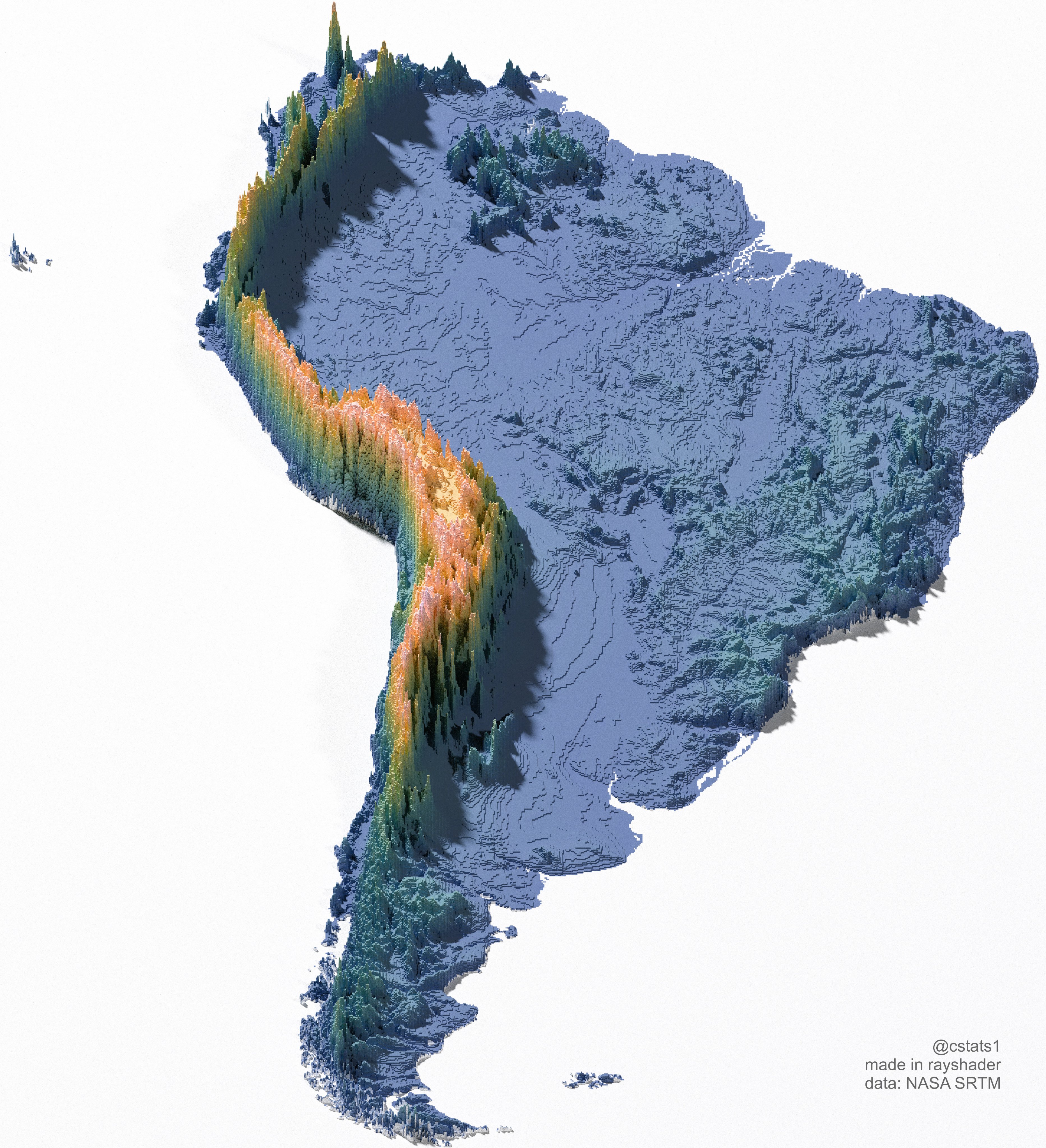
#rayshader adventures, an #rstats tale

Imtiaj Iqbal Mahfuj retweeted
Forest canopy height of Zion National Park, Utah.
#rayshader adventures, an #rstats tale


Danielcurioso retweeted
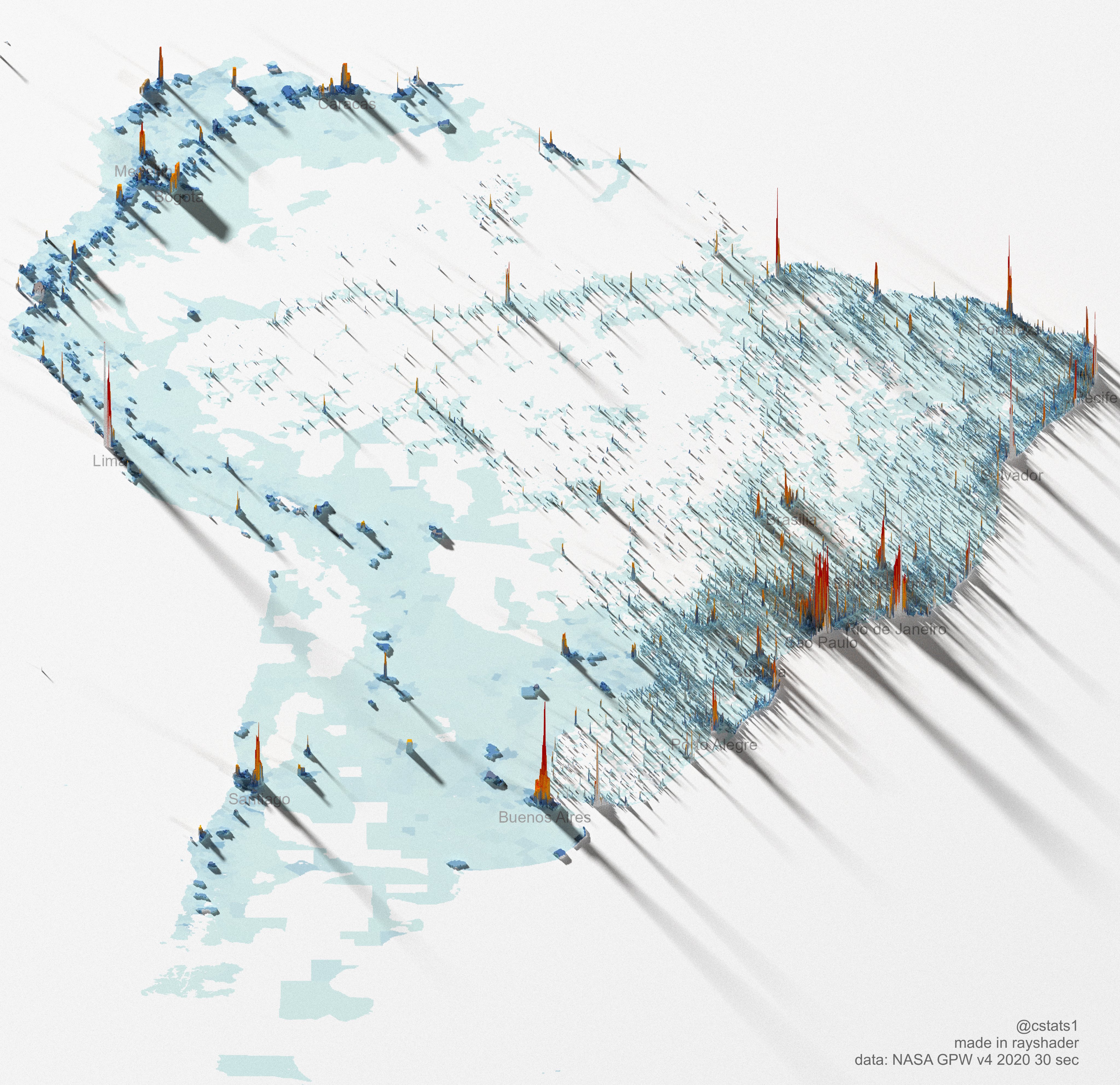
South America Population Density map -- figured I'd get to work on some of the continents
#rayshader #rstats #dataviz

My first experiment visualising India’s population density in 3D using #rayshader and #RStats!
Used open data (WorldPop + GADM), each spike shows dense population places.
The code, approach, and files are all on GitHub for anyone curious to try:
🔗 github.com/namastevis/popula…
Derek Law retweeted
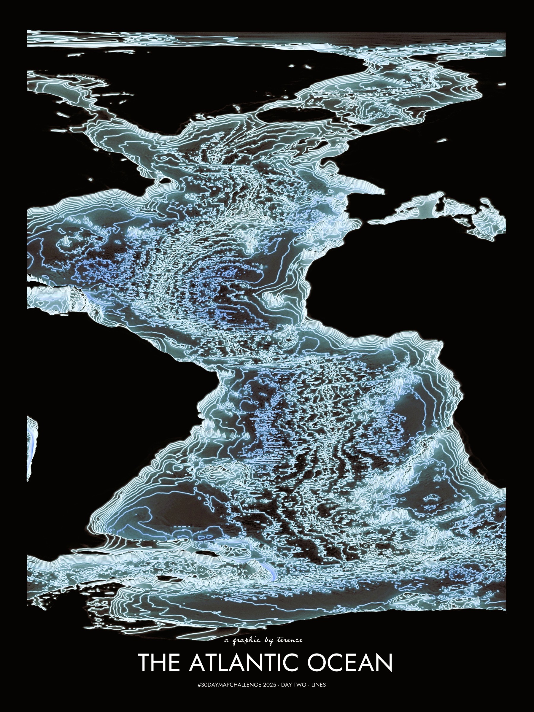
#30DayMapChallenge · Day 2 · Lines. Bathymetry of the Atlantic Ocean as illuminated contours.
#rayshader adventures, an #rstats tale
Derek Law retweeted
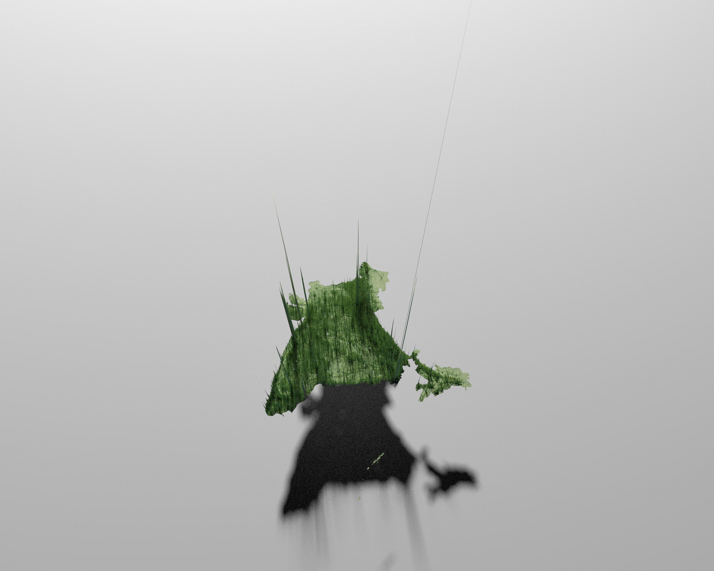
Tree height map of Montréal. See the blank space without any trees in the middle? If you aren't from Montréal, what do you think that is? :)
#rayshader adventures, an #rstats tale
