Brian Kwatsima 👷 retweeted
Don't miss out on our 7-Day intensive GIS Training. Secure your slot #GIS #RemoteSensing #GeoidexTraining
3/ Remote Sensing uses satellites to scan the Earth for signs of mineral deposits, while GIS helps analyze and map this data to predict where new minerals might be found. #RemoteSensing #GIS
Traditional satellite sensing? Limited by clouds & coarse resolution. Multi-sensor UAV platforms are revolutionizing crop monitoring with precision & adaptability across growth stages.
Discover how: newswise.com/articles/smarte…
#AgTech #RemoteSensing #FutureOfFarming
For more information about registration, visit our website: studyhacksgeospatial.com/goo…
#GoogleEarthEngine #RemoteSensing #GIS #GeospatialAnalysis #OnlineTraining #CodingForBeginners #PythonAPI #JavaScriptAPI #LULCMapping #ChangeDetection #AirQualityMonitoring #TimeSeriesAnalysis
#30DayMapChallenge
Day 5 – Earth
This one hits close to home, literally.
#GIS #RemoteSensing #EarthTheme #EnvironmentalMapping #CoalMining #India #Geospatial
Finding the balance for food security in conflict zones @UniofAdelaide #remotesensing #earthobservation #foodsecurity
adelaide.edu.au/newsroom/new…
Roman Empire's most detailed digital road map created #remotesensing #earthobservation #archaeology #romanempire
uab.cat/web/newsroom/news-de…
🌲 New #Forests Special Issue!
“Multi-Sensor Data and Time-Series Analysis: Advancing Mapping and Climate Impact Assessment in Forest and Grassland” 🌿📡
📗 Edited by Dr. Stendardi et al.
🔍 Submit now at mdpi.com/journal/forests/spe…
#ForestsJournal #RemoteSensing #ClimateChange
Honored to co-lead EARSeL’s Forestry SIG with Mirela & Lars! 🌳
➡forestry.earsel.org/
We’ll support remote sensing, AI & open data for forest monitoring & resilience.
#EARSeL #Forestry #RemoteSensing #MachineLearning #ForestMonitoring
Seahorse Magic-Powder retweeted
For more information about registration, visit our website: studyhacksgeospatial.com/goo…
For Registration, Contact this Email: rmijanur10266@gmail.com
Or WhatsApp 24/7: +8801780942798 or wa.me/8801780942798
#googleearthegine #GIS #remotesensing
Copernicus Marine retweeted
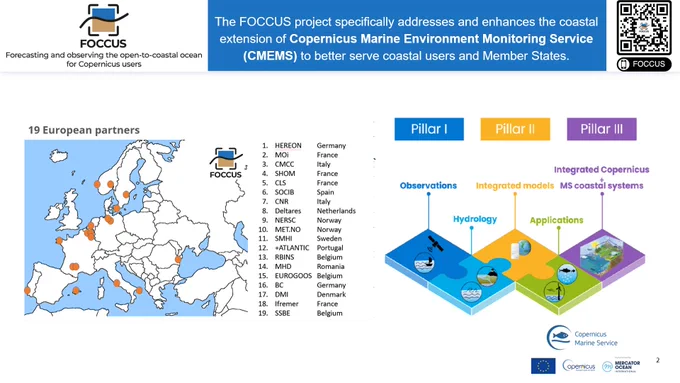
At the #COSPAR2025 Symposium 🇨🇾, FOCCUS delivered two presentations introducing the project & its link to @CMEMS_EU & “New Insight Into High-Resolution Coastal Observations” showcasing advances in #AI, #datafusion & #remotesensing.
Ido Klein עדו קליין retweeted
Day 7 of #30DayMapChallenge – Accessibility 🐢
Mapping the potential nesting accessibility of sea turtles on coastal sands.
Beach width estimated under current conditions (0.75 m) and a +1.9 m sea-level rise scenario
#GIS #RemoteSensing #SeaTurtles #ClimateChange
venus cookies retweeted
Sabrina's Biosensor Links
#1
Aspects of 6th generation sensing technology: from sensing to sense
#RemoteSensing
#RemoteHealthcare
#PrecisionMedicine
frontiersin.org/journals/nan…


